Industries
Agriculture
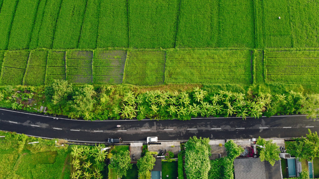
Livestock producers, Croppers, Agronomists, Agricultural engineers, Researchers, and Service Providers use drone-captured data to capture enhanced insights from above for precise planning and management of operations throughout the growing season.
Drone or UAV data can be in the form of predominantly RGB, multispectral, and thermal which have a higher accuracy, spatial, and temporal resolution than satellite data as well as being significantly cheaper than manned-aircraft flights for the same sets of data.


Environmental Monitoring
Environmental professionals including conservationists, researchers, engineers and similar related fields are using fixed-wing drones as an efficient and cost-effective way of capturing accurate environmental data that can be used for various applications. Types of applications include glacial modeling, coastal erosion tracking, species identification and population assessments.
Renewable Energy Monitoring
Surveying drones boast quick data collection times, excellent positional accuracy and offer a safer experience in the field compared to traditional methods. They are an ideal complement to existing terrestrial equipment and also have the potential to help you expand your company’s services into brand new fields.


