INDUSTRY
Surveying, mapping, GIS
Surveying drones boast quick data collection times, excellent positional accuracy and offer a safer experience in the field compared to traditional methods. They are an ideal complement to existing terrestrial equipment and also have the potential to help you expand your company’s services into brand new fields.
Table of Contents
How are drones used in surveying and mapping?
Land surveying and cartography – High-resolution orthomosaics and 3D models enable surveyors to generate detailed cadastral maps capable of displaying property lines, drainage points and utilities.
Land management – Simple topographic surveys are useful for environmental monitoring, planning efforts like site scouting and construction of roadways, buildings and infrastructure.
Construction and infrastructure – Aerial data is valuable across every stage of the project workflow from topographical surveys for bidding and pre-construction to tracking earthworks progress, calculating stockpile volumes or generating weekly reports and monthly KPIs.
Urban planning – Current maps and 3D models are helpful to city planners who analyze the complex dynamics of social, environmental and industrial areas and consider the impact of various development projects. Here, planners can measure roof heights, cast virtual shadows from buildings to simulate different times of day and segment areas by overlaying aerial and zoning maps.
What are the benefits of fixed-wing drones for GIS professionals?
Reduce field times – Fixed-wing surveying drones are estimated to be 80% quicker than traditional terrestrial methods—saving you time by collecting the data you need quickly and efficiently from a single point.
Improve site access – A lightweight drone with remote mapping capabilities help you survey hard-to-reach and even potentially dangerous sites, such as mines, construction zones, landfills, forests and mountainous terrain with greater ease and safety – all without disrupting operations on the ground.
Deliver high accuracy and quality – Fixed-wing surveying drones can help you gather data with ease while helping you maintain precision across each step of your workflow from the capture and processing to vectorization, quality control and delivery. For example, the eBee X can achieve a high absolute accuracy down to 3 cm / 1.2 in via built-in RTK/PPK – With no ground control points required.
Expand your capabilities – Maximizing your data collection and spending less time in the field frees you up to take on more projects while knowing you’ll complete them quickly and more cost-effectively than ever before.
What types of drone data outputs can you expect?
The data output depends on your sensor and processing software, as dictated by your data requirements, which in turn determines the surveying drone you will need to carry the payload with sufficient flight time. Typical drone data outputs you can expect from eBee drones, MicaSense sensors and Measure Ground Control include:
Orthomosaic raster – Large image comprised of adjoining orthorectified images that have been digitally reconstructed. Orthomosaic maps are helpful in surveying and GIS for monitoring site activity and measuring distances between points.
3D point cloud – Point clouds maps comprise millions of individual points featuring X, Y, Z geospatial coordinates and an RGB value. Surveyors in construction for example use them to calculate complex stockpile volumes and automate cut/fill analysis.
Digital Surface Model (DSM) – 3D display of an area that includes the tops of buildings, trees and other ground-based objects. Detailed models captured by drone are valuable for tracking earthworks, water flow or flooding across terrain and measuring excavation depths.
Digital Terrain Model (DTM) – 3D display of vector data that features natural terrain and regularly spaced points. DTMs can be used in planning new construction developments or monitoring changes to landscape for land management.
3D textured mesh – Realistic reproduction of an area using photogrammetry mapped to edges, faces, vertices and texture. 3D models are helpful in planning and inspections or in large construction projects when data needs to be widely shared with numerous corporate and public stakeholders.
Contour lines – Topographic map that delineates surface elevation using contour lines. Surveyors can use contour line outputs for grade and slope monitoring.
Cadastre maps – 2D property maps. Updated cadastral maps of entire townships and cities provide urban planners with highly accurate boundary measurements to determine where easements are located, utilities and other features adjacent to a work site.
High compatibility – With image processing software such as PIX4Dsurvey, you can easily extract relevant information from photogrammetry to develop models and engineering-ready CAD files. Data outputs are compatible with popular survey software such as AutoCAD, ArcGIS, Bentley and others for sharing with project stakeholders.
What software do you need?
- eMotion software is a leading drone software solution for flight planning, geotagging and photo stitching. From here the imagery can be exported for post processing in Pix4D and other software.
- PIX4Dsurvey and PIX4Dcloud are popular photogrammetry solutions for generating orthomosaic maps and 3D DSMs for sharing.
- Measure Ground Control can be used to manage a drone fleet, as well as to process multispectral imagery from MicaSense sensors. Surveyors and GIS professionals can use Measure to access data from anywhere in real-time, track and monitor several projects at once while streamlining communications and reporting.
Related products
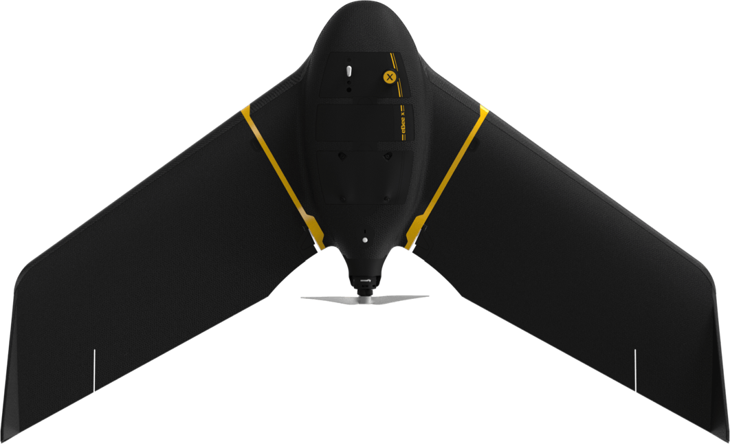
eBee X
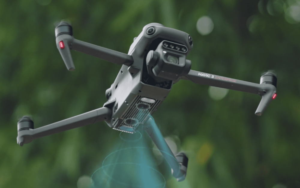
Mavic 3E (Enterprise)

Matrice 350RTK
Dock 2
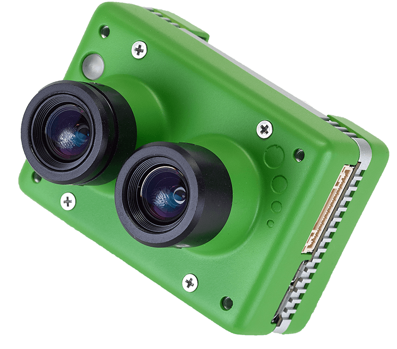
DUET M
DUET T
Aeria X
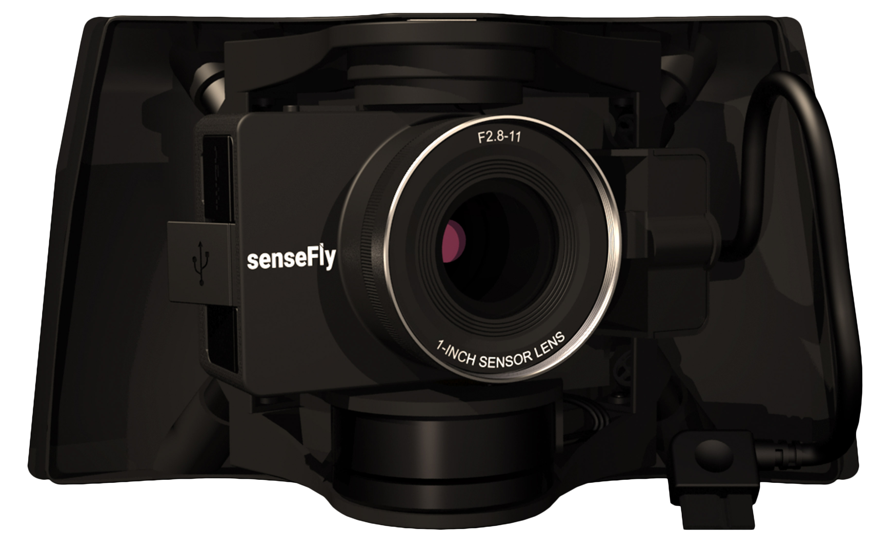
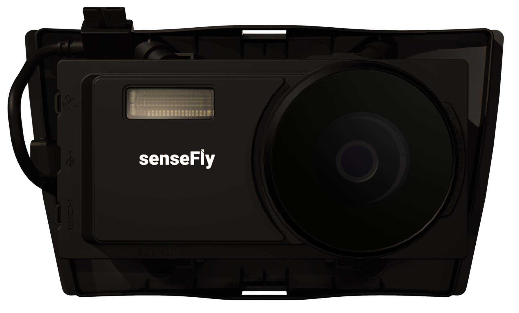
S.O.D.A 3D

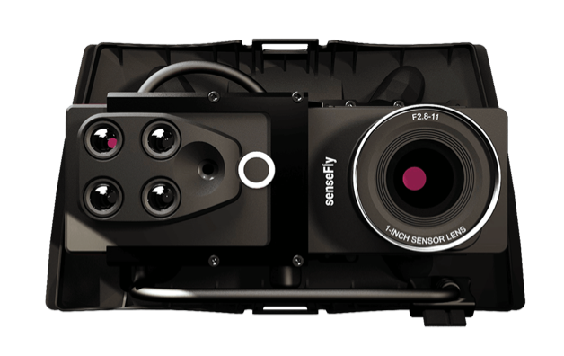
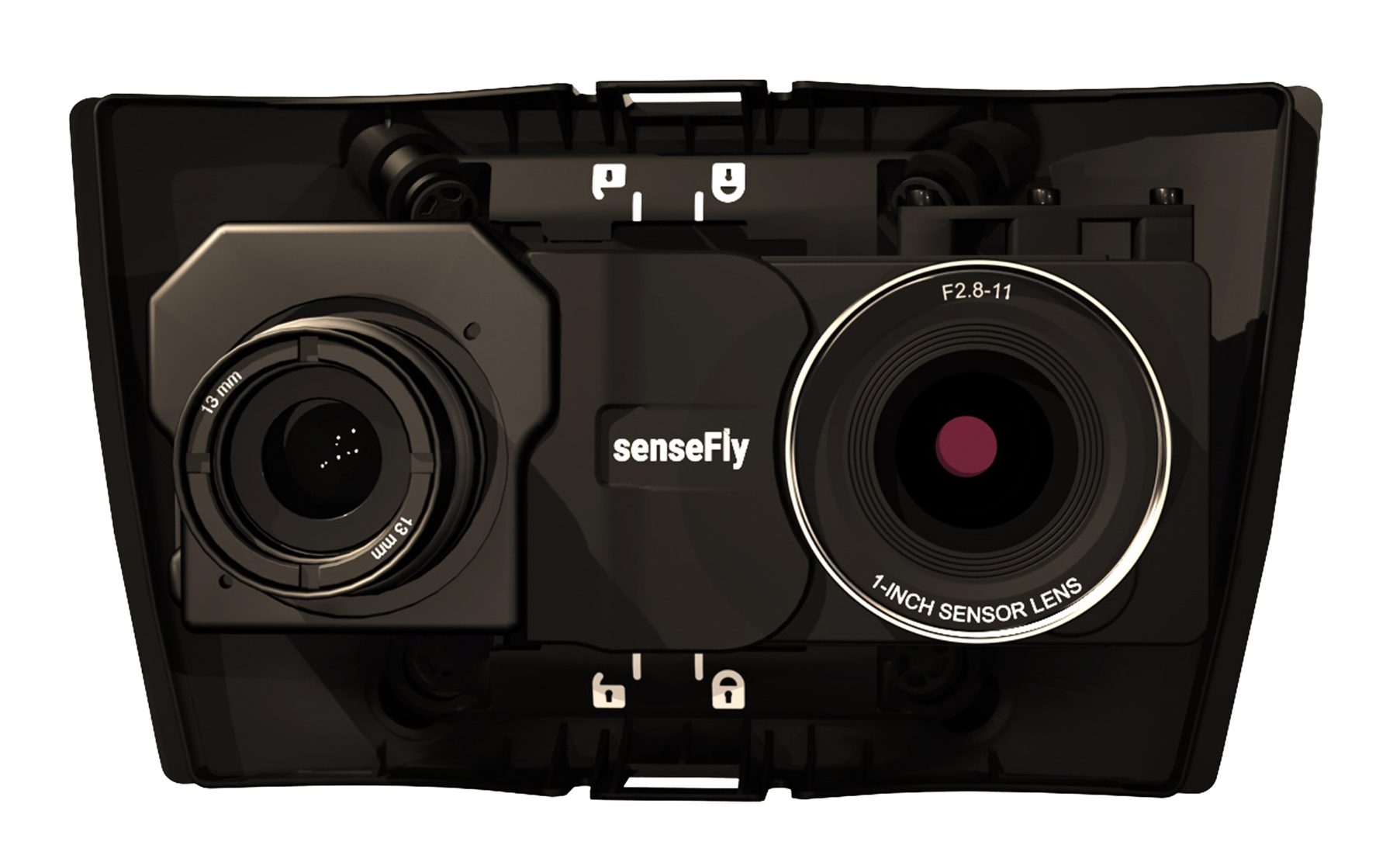
Red Edge P
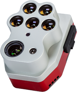
Altium PT
Double 4K
6X

Mapper

Matic

Survey

Cloud


