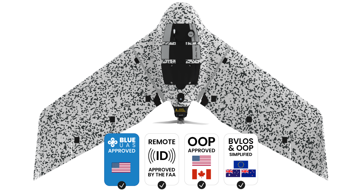


U.S. Army Engineering and Support

U.S. Army Corps of Engineers

French Navy

Land Army of France

British Army

Royal Danish Army


IP67 military transport case
Encrypted SD cards
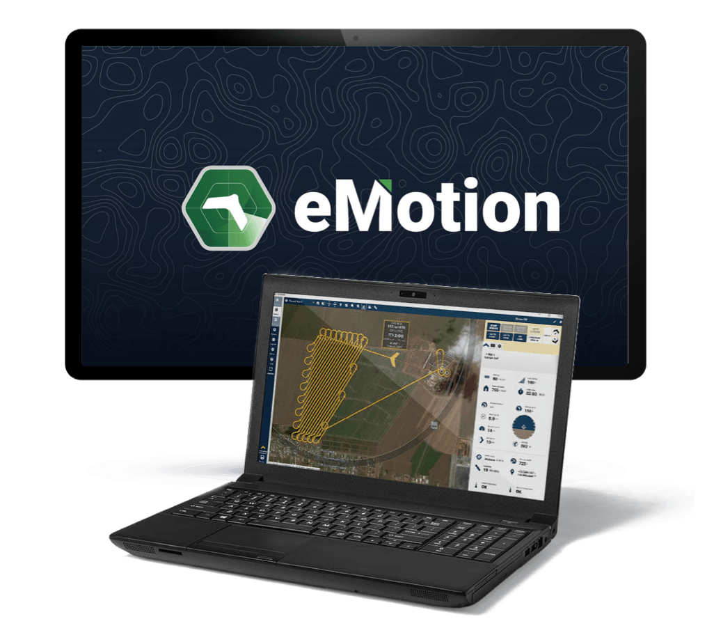
Flight management software
Lithium-polymer endurance batteries

Lithium-polymer endurance batteries
Smart battery charger and discharger
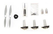
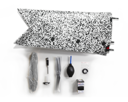
Spare propellers and pitot kit

USB ground modem
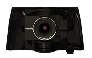
S.O.D.A. 3D
3D mapping. Patented photogrammetry sensor that changes orientation during flight. Its tilting technology provides excellent results in vertically-focused environments.
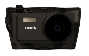
Aeria X
2D mapping. Optimize exposure time under numerous light conditions – including low-light – with this 24 megapixel drone photogrammetry camera for RGB outputs.
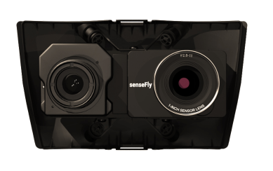
Duet T
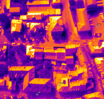
Thermal mapping. Dual RGB and FLIR thermal camera, suitable for night flights. The Duet T is a radiometric camera.

S.O.D.A. 3D
3D map

Aeria X
2D orthomosaic map
Duet T
Thermal map

Drone backpack
Durable drone protection and portability. Laptop pocket and rain cover. 4.6 kg / 10 lbs empty, 10 kg / 22 lbs loaded.
Ping USB
Increase your airspace awareness by viewing live air traffic data directly within eMotion.
GeoBase by Septentrio Altrus NR3
Enable high-accuracy workflow with this plug-and-play GNSS.
Remote control
Operate your eBee TAC drone manually.
Radio tracker
Safeguard against unexpected aircraft signal loss while flying in high winds, mountainous areas or very large areas out of the line of sight.
Spare and maintenance kits
Wings, pitot tube, vertical surfaces and propellers.

RTK / PPK
Achieve absolute accuracy of down to 1.5 cm / 0.6 in with available RTK / PPK.


