INDUSTRY
Agriculture
Agronomists, agricultural engineers, researchers, service providers and farmers use drone-captured data to gain greater crop insights to accurately plan and manage their operations throughout the growing season. Drone data, be it RGB or multispectral, have a higher spatial and temporal resolution than satellite data and is cheaper than manned-aircraft flights for the same data.
Table of Contents
What are the benefits of drones in agriculture?
Increase yield – Monitor crop health and address threats such as disease and plant stress through early identification, treatment and mitigation to maximize yield potential.
Cost savings – Better manage agriculture inputs such as fertilizer and pesticides by applying them only where necessary.
Season-long insights – Gain valuable insights at each growth stage, as well as before and after each harvest.
Leaf-level accuracy – High-resolution RGB and pan-sharpened multispectral imagery provide high-accuracy data that allow plant-level monitoring and analyses.
Improved planning – Plan irrigation and drainage before the growing season, and evaluate it throughout.
Current field data – Drones allow regular cost-effective data capturing, providing high temporal resolution for change monitoring and detailed comparisons across growth stages and across seasons.
What are the applications of drones in agriculture?
Professionals such as environmental engineers, researchers and conservationists are turning to drones in place of slower terrestrial surveying equipment, lower-resolution satellite imagery and expensive – and sometimes unavailable – manned aircraft services. Below are examples of how drone data can be used.
Yield prediction – Analyze growth, soil conditions and precipitation for current yield estimations.
Crop monitoring – Map and monitor crop health and growth stage, and identify diseases and deficiencies early.
Input management – Optimally manage crop inputs such as fertilizer and pesticides to reduce cost and environmental impact, without sacrificing yield.
Water management – Monitor and assess optimal water usage, plan drainage and irrigation.
Plant counting – Conduct crop stand analyses and plant counting from emergence to harvest.
Damage assessment – Assess hail, disease, fire and other damage to calculate cost impact and for insurance claims.
Research – Gather high-accuracy data at speed for detailed crop analyses and repeatable results.
What types of drone data outputs can you expect?
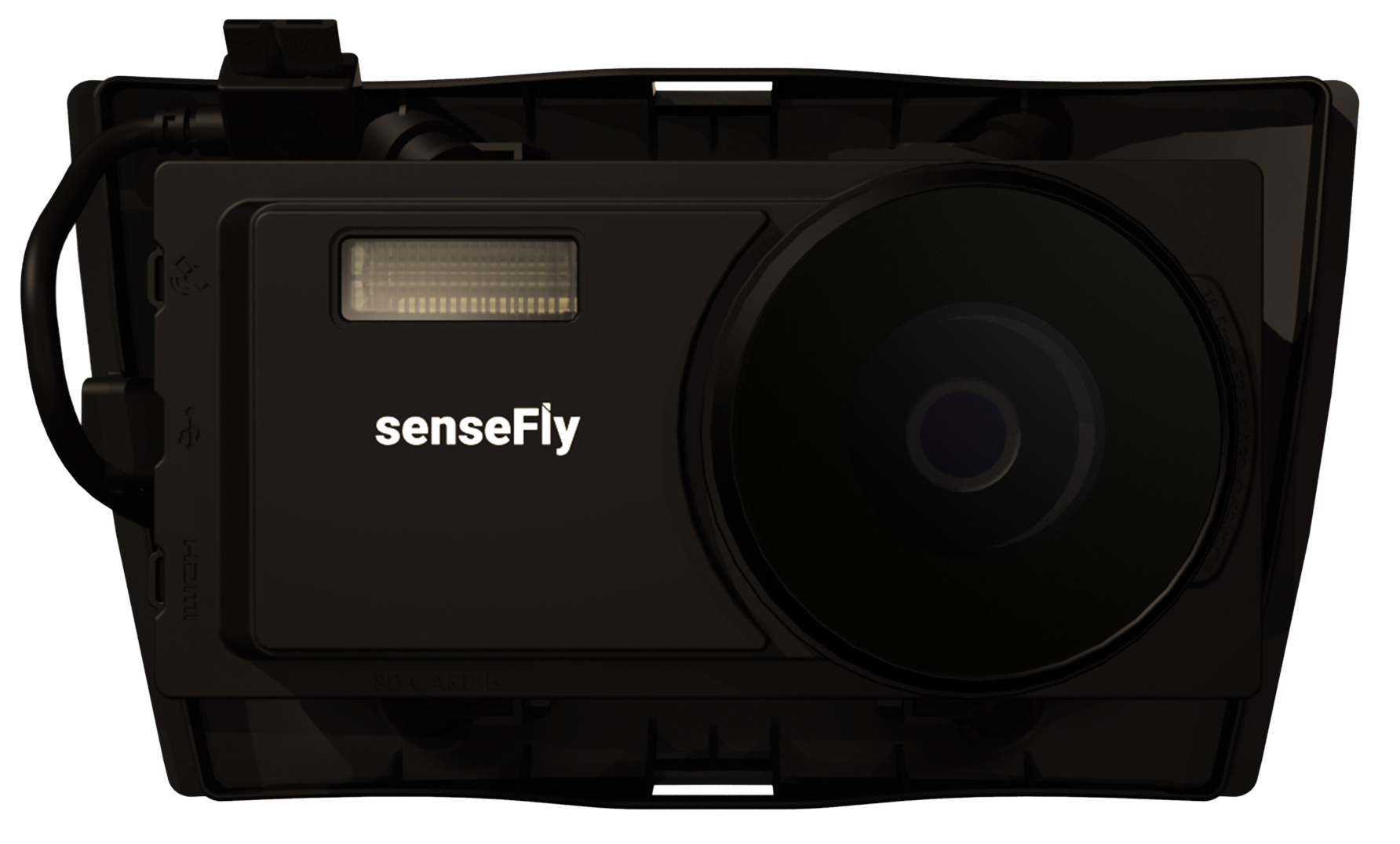
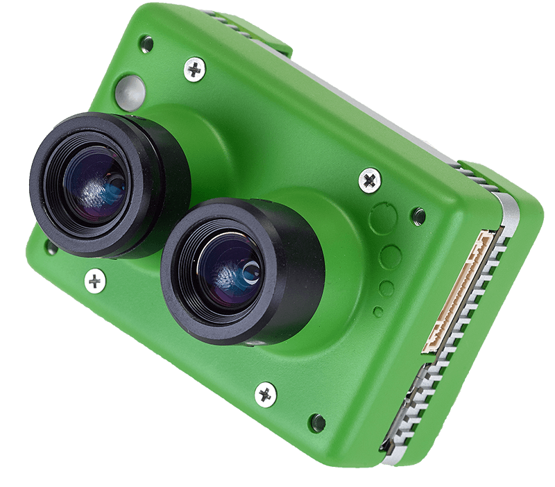
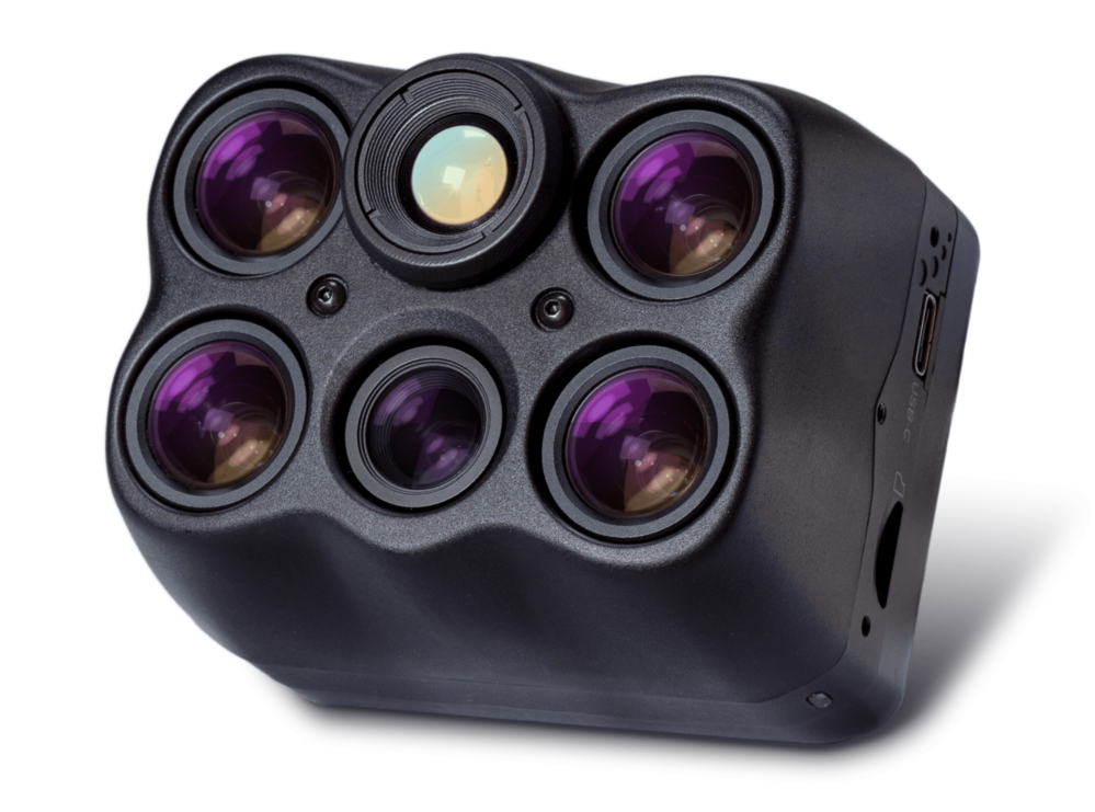
Drone data output depends on the sensor and processing software. Select a sensor based on your data requirements. Your sensor choice will determine the drone you need to carry this payload. Typical drone data outputs you can expect from eBee fixed-wing drones, MicaSense and eBee sensors and Measure Ground Control software include:
Orthomosaic maps – A geospatially accurate and detailed 2D representation of a site. Accurate orthomosaic maps help agronomists monitor and manage fields, and also be used in machine learning applications such as crop counting.
Index maps – Combine multispectral indices for detailed crop, soil and water analyses such as canopy density, leaf area, plant vigor, fertilizer requirements or foliar Nitrogen. These include Normalized Difference Vegetation Index (NDVI), NDRE which is sensitive to chlorophyll content in leaves and can also be used for mapping variability in fertilizer requirements, Color Infrared Composites, and OSAVI (Soil Adjusted Vegetation Index) maps.
Digital Surface Models (DSMs) – DSMs accurately depict elevation and are useful in water management and soil monitoring applications.
3D mesh maps – A three-dimensional texture (mesh) map with X, Y, Z data can be used for cluster analyses or to characterize crop sizes.
Point clouds – Point cloud maps comprise millions of individual points featuring X, Y, Z geospatial coordinates and with associated RGB/multispectral values, and can be used in yield estimations, crop spraying or other input calculations.
Contour lines – Topographic maps take X and Y coordinates from the aerial drone data to generate precise contour intervals.
What software do you need?
- eMotion software is a leading drone software solution for flight planning, geotagging and photo stitching. From here the imagery can be exported for further processing in Pix4D and other software.
- PIX4Dfields photogrammetry software is a popular solution for vegetation and crop mapping and analyses.
- Measure Ground Control can be used to manage a drone fleet, as well as to process multispectral imagery from MicaSense sensors.
Related products
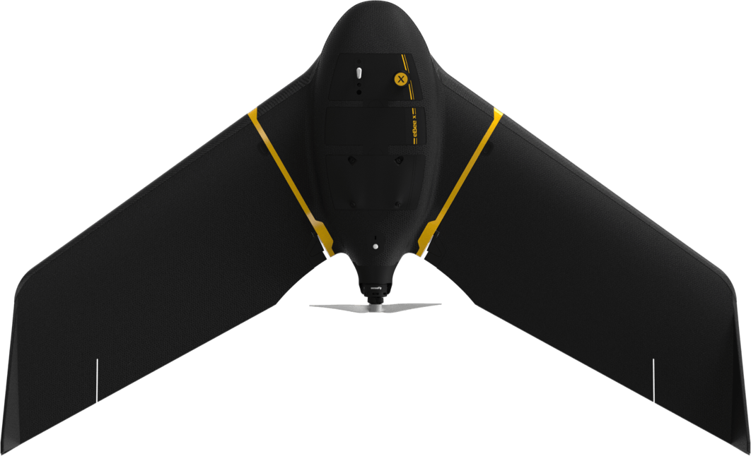
eBee X
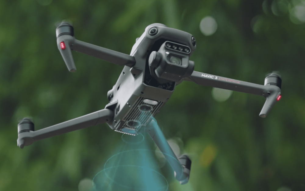
Mavic 3E (Enterprise)
Mavic 3M (Multispectral)
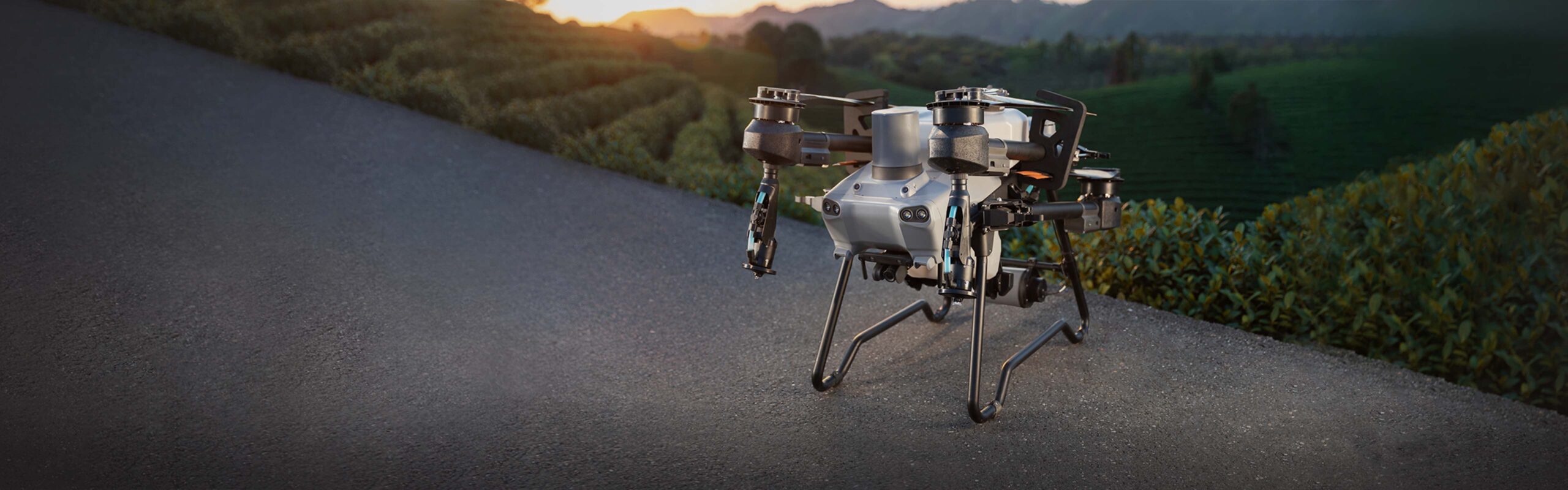
Agras T25

Agras T50
Aeria X
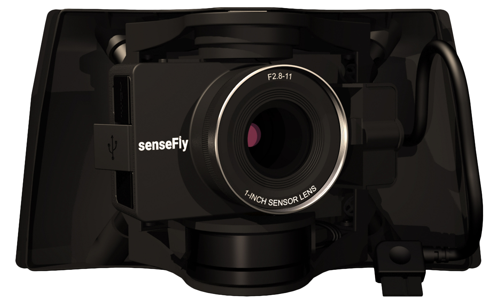
S.O.D.A 3D
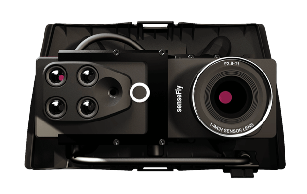
DUET M
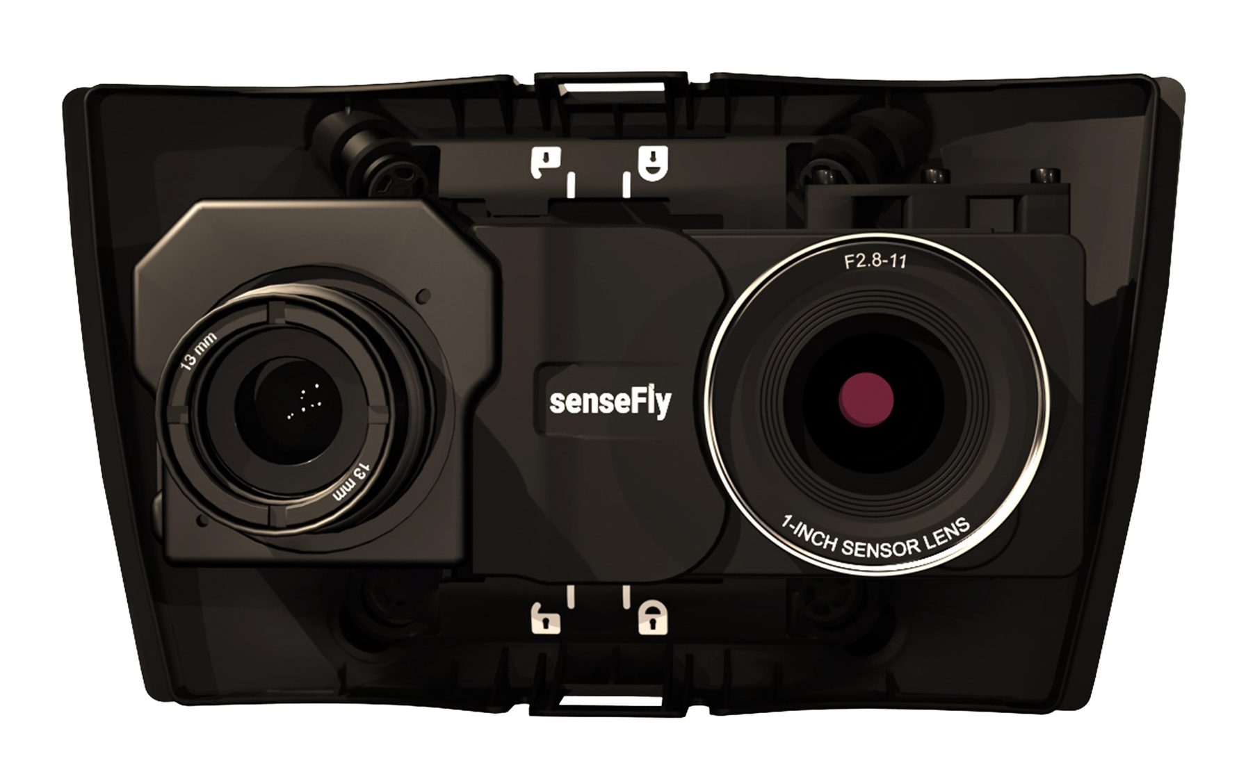
DUET T

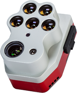
Red Edge P
Altium PT
Double 4K
6X

Mapper

Matic

Survey

Cloud

Fields
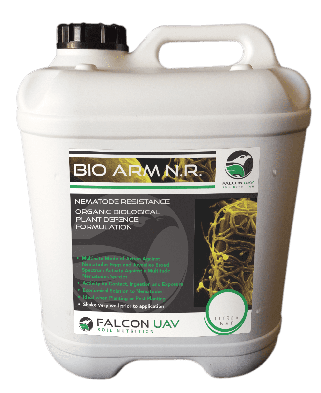
Biologicals


