Now available to order

Real-time situational awareness UAS
For public safety agencies and Intelligence, Surveillance & Reconnaissance (ISR) missions
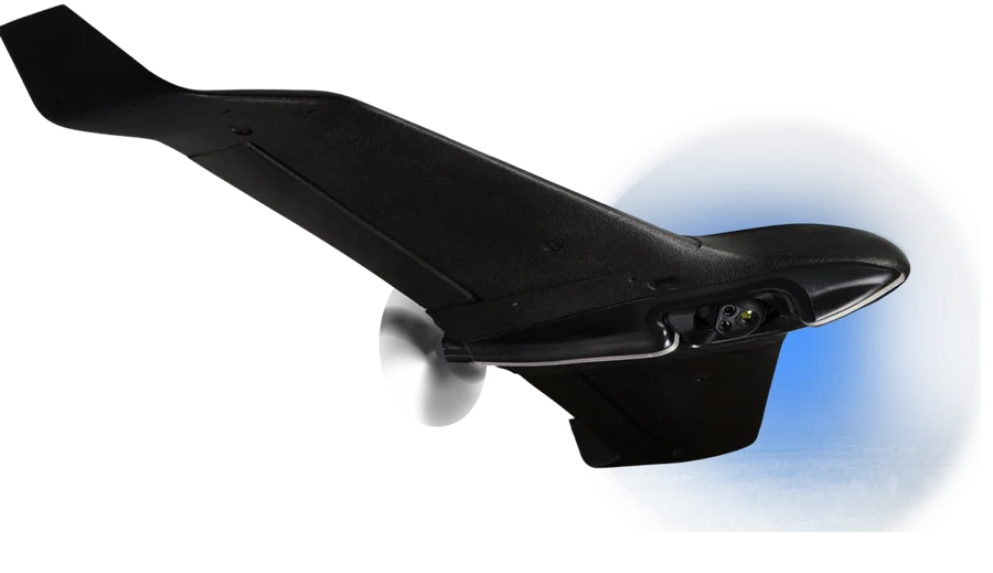
Ebee vision drone

Ebee vision drone
Stay informed on the release date, book a demo or place a pre-order
Real-time situational awareness
For public safety agencies and Intelligence, Surveillance & Reconnaissance (ISR) missions
4K video capture

90 minutes flight time
Swiss made
One operator
32x zoom

Vast area coverage
Cyber-secure
3 min deployment
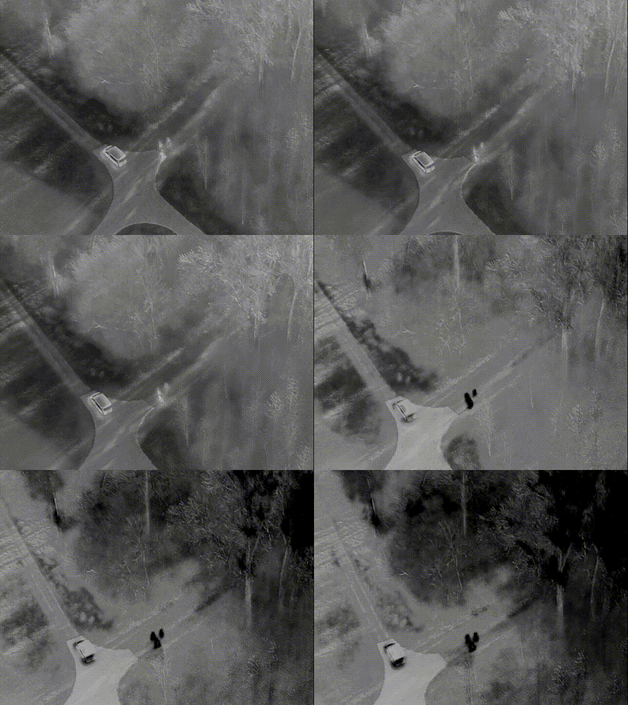
Thermal imagery

3.5 lbs | 1,6 kg
NDAA compliant
Carried in backpack
90 minutes flight time
Vast area coverage
3.5 lbs | 1,6 kg
Swiss made
Cyber-secure
NDAA compliant
One operator
3 min deployment
Carried in backpack
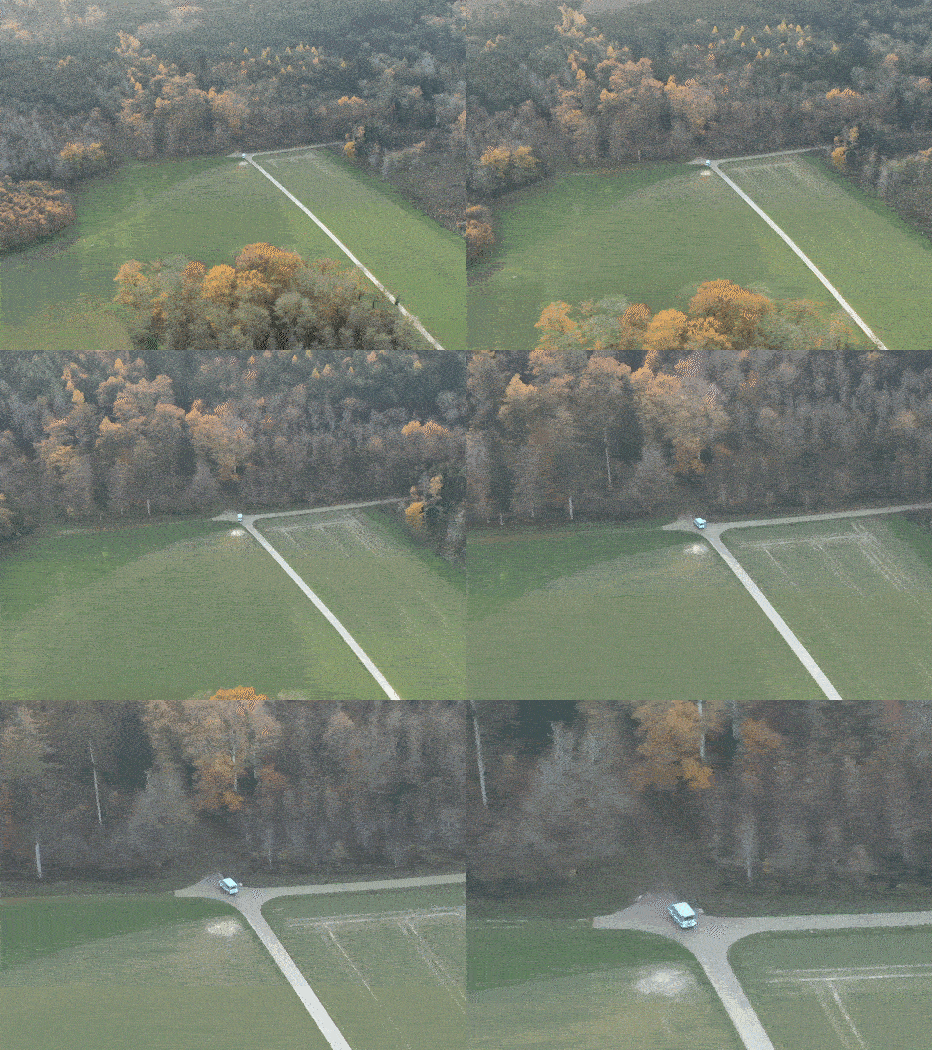
Detect, track and geo-locate objects
Easy-to-use interface designed in collaboration with special forces, customized for defense and security requirements.


Flight plan
Define a flight plan and adapt it during the flight

Observation mode
Maintain observation from a safe distance.

Scouting mode
Explore and track moving targets.
Learn everything about eBee VISION
The white paper provides in-depth technical details about the drone, the ground control station, and the software.

Portable solution. Quick setup
Carried in a backpack, hand-launched and operated by a single pilot in rapidly-changing environments.
3.5 lbs / 1,6 kg
47.2 in / 120 cm wingspan
Modular design
3 minutes deployment
Leverage your operations
Simultaneously capture, view and record video and imagery.
4K video capture
Up to 12 mi / 20km wireless range
Up to 90 minutes flight time
32x zoom
Low acoustic signature
Low specular reflection
90 minutes flight time
Vast area coverage
3.5 lbs | 1,6 kg
Swiss made
Cyber-secure
NDAA compliant
One operator
3 min deployment
Carried in backpack
Cyber-secure

eBee VISION is NDAA-COMPLIANT
All specifications are not final and subject to change without notice.
Follow us
The Ageagles System
- eBee X Fixed Wing
- Flight Planning Software
- Auto Pilot Firmware
- Optional: Image stitching software
- Optional: Farm Management Software
- Li Po Battery Packs and Smart Multi Charger
- NDVI modified camera
- Proprietary Launcher
- Flight Manual Pack
- Flight Instructions
- USB Ground Controller
- Cables and Spares
- On-site training available
- Distributors of the SenseFly and BASK Agricultural drone systems
- SenseFly System
- eBee Aircraft flying wing
- Project Specific Camera
- eMotion Flight Software
- Portable backpack
- Spare Propellers
- Lithium Polymer battery
- Battery Charger
AgEagle RX48
A most economical fixed wing drone solution for precision agriculture. The new RX48 is hand launched is minutes, does not need internet connectivity. Creates flight missions easily and quickly. The Botlink NIRX image processing eliminates issues from cloudy shadows.

AgEagle RX48
- Scan 100 to 120 hectares in a single 30 min flight.
- Create fast crop health maps; identify problems, save money on treatment costs.
- Fully autonomous flight; Android tablet does the flying and landing.
- Flies in windy conditions that would hamper hobby type quad copters.
- True NIR from Sentera NDVI sensor.
- Durable composite construction.
- Weighs less than 2 Kg for non-license requirement.
- We set it up for you, then train you on-site.
The RX48 system includes
- Flying wing
- 6600 mAh Li Po Battery
- Smart Battery Charger
- Flight control software
- Sentera NIR camera
- Optional image processing software or cloud based processing
- On-site training available.


