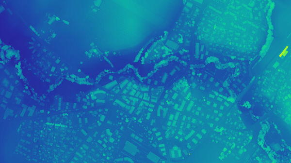
Accurate 3D maps and models from thousands of images
FAST PROCESSING
EASY ACCURACY CHECKS
VERTICAL COORDINATE SYSTEMS AND GEOID SUPPORT
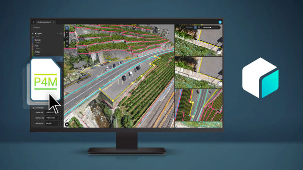
IMPORT FROM PIX4DCATCH
FAST DEVELOPMENT CYCLES
Fast processing
Handling and processing large amounts of data is easy with PIX4Dmatic.
Get your results up to 50% faster, while keeping a survey-grade accuracy.
Easy accuracy checks
Ensure the accuracy of your project with GCPs, Checkpoints, or Manual Tie Points. Accuracy metrics are available in a dedicated tie points table and in an exportable quality report.
Vertical coordinate systems and geoid support
PIX4Dmatic supports the most frequently used vertical coordinate systems and their corresponding geoids.
Import from PIX4Dcatch
Process both LiDAR and RGB image outputs from PIX4Dcatch.
Fast development cycles
Updates are released every three weeks in a new preview or stable version, ensuring you get all the latest improvements and features.
Generate a dense point cloud, create a depth point cloud or fuse them according to the needs of your project and create the best reconstruction possible.
Export formats:
.laz
.las (1.2 and 1.4)
.xyz
Orthomosaic
Create orthomosaics that are geometrically corrected such that the scale is uniform. They are color balanced in order to be visually pleasing.
Export formats:
.tiff (GeoTIFF)
.jpg (Georeferenced with .jgw)
.tfw
.prj
Digital surface model (DSM)
Generate a digital representation of all objects in the mapped area. It includes natural features as well as elevated objects, like buildings.
Export formats:
.tiff (GeoTIFF)
.tfw
.prj
Mesh
Generate a 3D textured mesh by defining the texture size and decimation criteria and view it either in textured or shaded mode.
Export formats:
.obj
.slpk
Cesium 3D Tiles
.laz
Compatible with PIX4Dsurvey
Seamless export of processed projects into PIX4Dsurvey to transform point clouds into actionable CAD-ready data. Pix4D’s proprietary .bpc file format is optimized for loading and manipulation of big point clouds.