Our products are supported by a network of Nutrition agronomists to assist flights with precise soil sampling analysis to provide custom blend fertiliser programs to build on the specific mineral deficiencies to increase yield, and reduce costs.
PROGRAM SERVICES
PLAN
This is essential for aligning our professional services to your requirements that comprises a mixture of activities that take place on site or remotely. Determining the right UAV is selected for the outcome and requirements is the first step to then plan the flights and payload types (cameras, Bird scarers) necessary to carry out the job. At this stage we identify optimal flight paths, risks, and data to be collected to design a program that will perform to meet your requirements.
DEPLOY
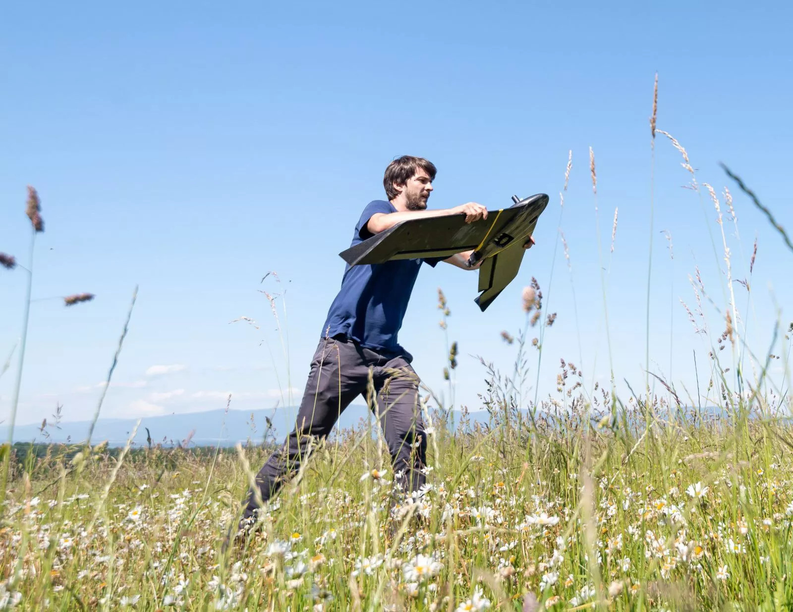
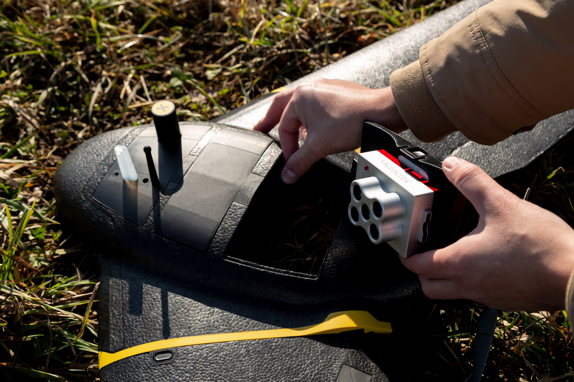
Drones are deployed as per the flight plan using the camera or payload appropriate for the mission using the right software and survey grid for accurate filming or photography.
During this time we perform as many manual or automated flights necessary to capture information required or cover the physical area of interest. A suitable launch location for take off and landing is safely established, we deploy the drone to complete the mission via a pre-determined flight path and survey grid. Where necessary, drones can be flown manually as an override. Flights are monitored live in real time at base station with video and consistent imagery continuously being captured. Flights are in accordance with CASA regulation at all times, batteries charged on site and all data backed up on microSD cards, laptops and other devices. Data from the flight captured is checked with clients to ensure correct areas are covered and we have a sufficient area to create good quality orthomosaic maps. If necessary, we will adjust a grid survey and repeat the flight if we need to adjust or expand our survey area.
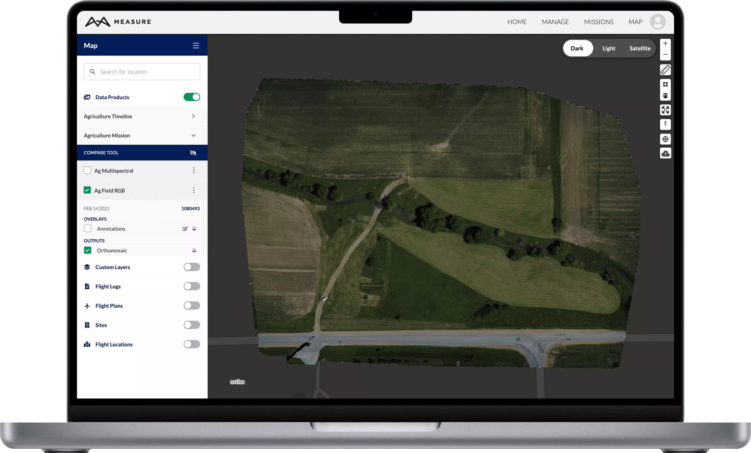
REPORT
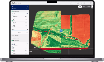
Here is where the processing and stitching of the images and video footage captured via the drones is processed and converted to data you can use to make informed decisions and take action on. Processing can take place at the site depending on internet activity or back at our offices with turnaround time between minutes or 24-48 hours depending on the size of the property surveyed, and information formats required from the captured imagery for use in variable rate sprayers, spray drones or tractors software (Trimble). Otherwise in a format suitable for your agronomist. Falcon UAV can otherwise provide a network of suitable agronomists to analyse the data to recommend a sufficient solution to rectify any mineral deficiencies or stressed pastures. Reporting can take a number of forms depending on what you want to achieve and the type of information collected. For example, raw or edited video footage and photographs, updated reports with annotated maps highlighting stress levels of pastures, interpretations and/or recommendations for further crop scouting or damage inspections.
TREAT
Soil ratios give an indication of the fertiliy balance in the soil. When the soil is balanced, all elements are available for plant growth. Depending on the requirements and analysis found from the aerial imagery and report formats processed, FalconUAV’s network of agronomists and soil nutrition specialists can work with you to balance any mineral deficiencies through custom fertiliser and compost blens to maxmise pasture levels at the appropraite expense ratio of production levels. Typically, these blends cost around $150-$200/ha (including spreading) and gives a return of $5 for each dollar spent on fertiliser and represents excellent value. These blends not only provide a base for better pasture but they increase the value of the land, in some instances as much as 30%. At Falcon UAV, we work with our partners to ensure the Carbon Exchange Capacity (CEC), measuring the ability of the sol to hold nutrient, is increasing to drive improvement in soil texture and fertility.
REPEAT
By referencing the data from previous seasons with the current data captured and comparing results from teh same developmental stage from one season to the other, you can obtain insightful data enabling increased yields and lower input costs. Typically, we would recommend the following program of drone flights:
Soil mapping before planting commences Once crops begin to emerge to assess germination Thoguhout the growing season up to harvesting Immediate pre-harvest to assess ripening Immediately after harvesting
Repeating the same flight paths over multiple seasons allows you to compare, measure and manage inputs and outputs accordingly. Most importantly, Falcon UAV’s professional services are based on procedures compliant with CASA regulations and processes approved by authoriities. This means you get information that is relevant and meaningful to your agribusiness as a powerful management tool.